The Southwest region of the states is often overlooked because it is hot as balls nine months out of the year, but I promise, we have a lot to offer. There are countless trails with great views and, yes, even water! Over the years, I’ve hiked many trails, some duds, but not all. Although Las Vegas itself, may only have a few nearby options, there are countless great trails within 3 hours of the city. These are all the ones I drag my friends to when they visit, and I hope you venture out and experience them all one day too.
Hiking in Las Vegas
Before you head out, check the weather conditions and bring more water than you think you may need. These trails can be far more strenuous than expected, and injuries are common. Be prepared, stay safe, and enjoy what hiking in Las Vegas!
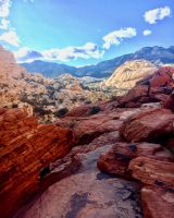
Calico Tanks Trail – Red Rock Canyon, Las Vegas
Drive Time: 2o minutes; Trail Distance: 2.2 miles; Average Time: 2hrs; Difficulty: Moderate-Strenuous
Red Rock Canyon is jam-packed with great hiking trails, but the most rewarding one is unquestionably Calico Tanks. With a little more than 2 miles of trail, this is certainly one of the more difficult options. During this hike, you’ll find yourself leaping across large rocks and scrambling to catch your footing at times. Although occasionally a bit difficult, you’ll quickly realize why it made the list as you follow the beautiful red and white sandstone weaving through the trail. As you reach the end of the path, you’ll find yourself gazing down at a large seasonal pool (tank) of water. This is an ideal spot for visitors to rest before continuing because the remaining portion of the trail requires a bit of scrambling. Once you’ve regained your energy and begin the final leg of the journey, you’ll quickly notice the gorgeous panoramic view of the city. If you’ve hiked this trail before, feel free to share your photos in the comments. This is my favorite view in Vegas!
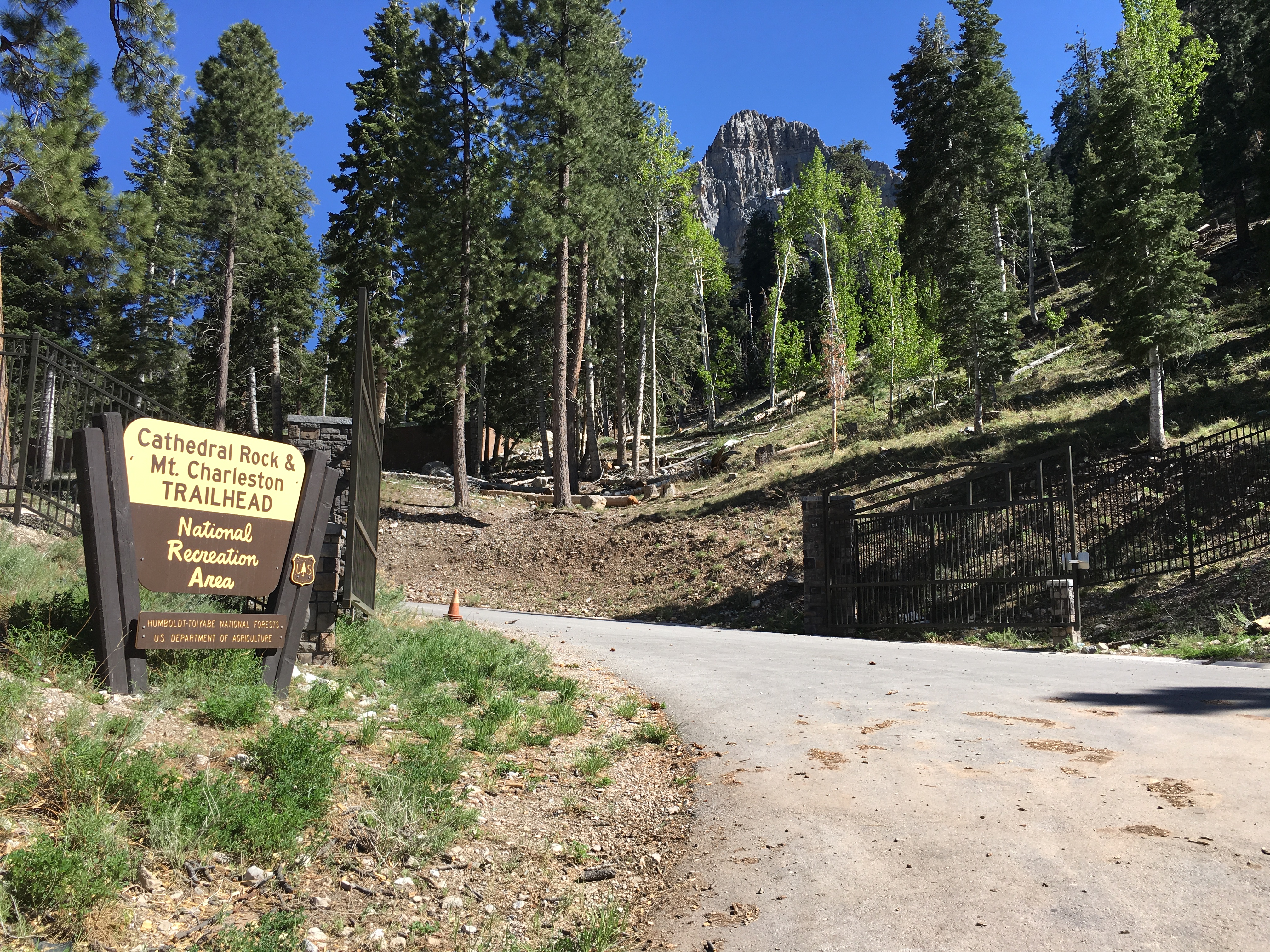
Cathedral Rock – Mt Charleston, Las Vegas, NV
Drive Time: 45 minutes; Trail Distance: 2.8 miles; Average Time: 1.5 hours; Difficulty: Moderate
With a summit of 8600’, this is one of the highest points in the Las Vegas area. Because of this, it can be a bit strenuous so take your time. That is not to say that it is impossible. The trail is well maintained by park services and is known to be in great condition for the numerous hikers that funnel through daily. During the spring months, this trail is especially popular because of the addition of colorful wildflowers that are in bloom. Along the trail, you’ll also notice ponderosa pines, white fur and, as the elevation increases, aspen. Though the trail is picturesque, the real draw to Cathedral Rock is the overview. Once you’ve reached the summit, grab your camera because the view is spectacular! As you stand on the cliff’s edge, you’ll see the entirety of Kyle Canyon, and of course, Cathedral Rock itself. With a view like that you’ll quickly forget that you’re just miles away from the devil’s butthole (Las Vegas).
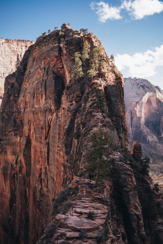
Angel’s Landing – Zion National Park, Springdale, UT
Drive Time: 2.5 hours; Trail Distance: 5 miles; Average Time: 4-5 hours; Difficulty: Strenuous
Full disclaimer: I have not attempted this trail because I’m a big chicken. I can solo travel to the most obscure places, but I will not do heights.
Located in Zion National Park, Angel’s Landing, by far, the most rewarding hike. At a breathtaking 1,488’, I would challenge you to find a more beautiful view in the Southwest. Park officials have lined the more challenging portions of the trail with a chain-link handrail to ensure your safety, while still preserving the mountains natural beauty. Be sure to do your research before your endeavor. I cannot stress enough how prepared you must be because of the risk associated with this trail.
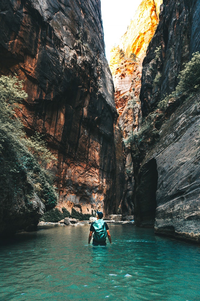
The Narrows – Zion National Park, Springdale, UT
Drive Time: Trail Distance: 16 miles; Average time: 4-5 hours; Difficulty: Moderate
As one of the most popular hikes in Zion, The Narrows is a must do. The hike, in short, is the Virgin River. The 16-mile river trail snakes through the high canyon walls and fluctuates as the season changes. Because the path is, for the most part, water, there may be moments when you’re literally swimming through the canyon, so wear light clothing. If at any time, this becomes too challenging, or you say “screw it, I want a beer,” turn around. Most hikers head back a few miles in because it can be a bit treacherous after a while. If you know you’re not going to complete the 16 miles like a crazy person (x2=32 miles), locals recommend at least hiking a minimum of 2 hours in because that is when you hit the holy grail known as “Wall Street.”
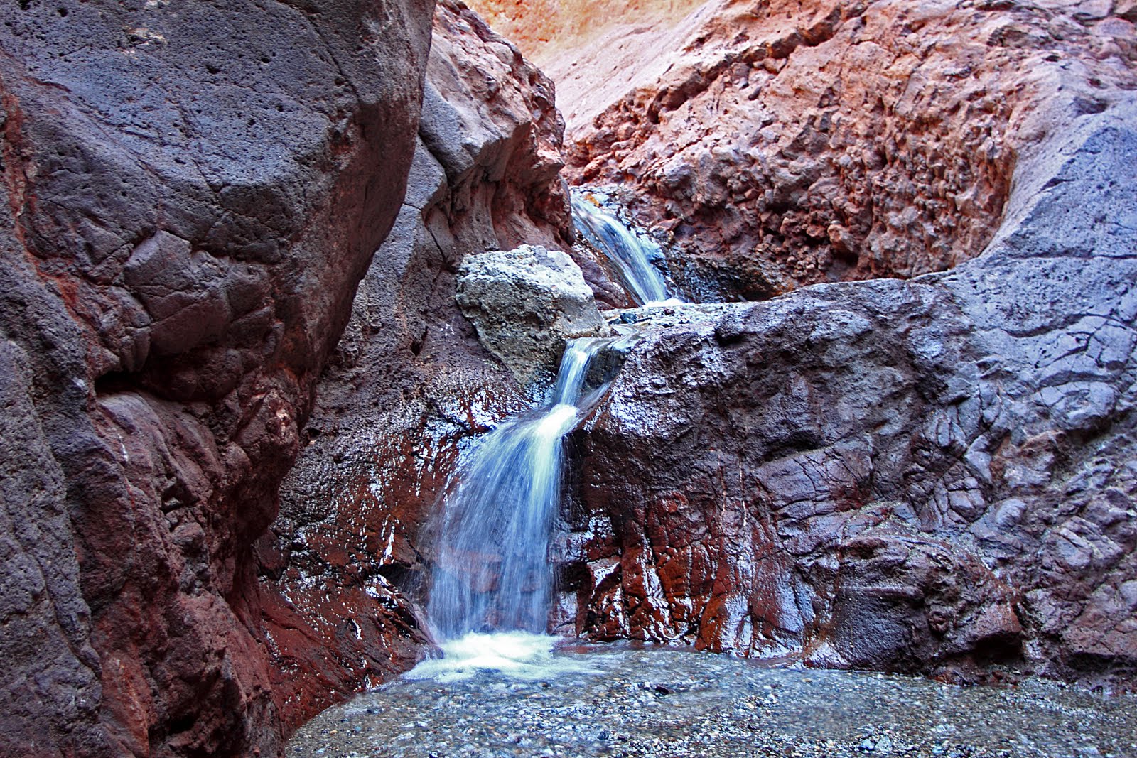
Arizona Hot Spring – Willow Beach, AZ
Drive Time: 45 minutes; Trail Distance: 3 miles; Average time: 1.5 hours; Difficulty: Moderate (possibly strenuous due to heat)
There are two options when planning your route to Arizona Hot Springs. The first is by water via kayak, canoe, boat, jet ski, or the bionic ability to swim 8 miles upstream. The closest entry point is Willow Beach, which is about an hour Southeast of Las Vegas. Other than a large rocky beach, no distinct landmark stands out so if you choose this option, pay close attention to a map, so you don’t pass it and end up at Hoover Dam.
The more popular route is hiking. The trail is 3.2 miles, and there is a parking lot along highway 93 with a brown sign that says something to the effect of “Hot Spring.” Again, pay close attention because it comes up quickly with no warning. You’ll notice that the trail is relatively easy and the only strenuous factor is the weather. Because of this, the trail to the hot springs closes during the summer months. As frustrating as that may sound, heat stroke is a killer, and the park does it to protect people. There wouldn’t be a rule in place if someone hadn’t of died, right? 🙁
The hot spring itself typically has about five pools to lounge in, each one with varying temperatures of hell. The number of pools depends on rainfall and flooding during that season (3 pools become 1). If you are accessing the springs from the river, there is a janky old ladder that will lead you up to the springs. Be careful because it is, like I said, janky. If you want to extend your stay, it is an excellent place to camp with many secluded areas to set up shop. For more pictures of how neat the springs are and camping options, check out Outdoor Project.
Warning: reconsider visiting the hot springs if you’re planning a visit during the summer months. Excessive heat and heavy rainfall can be hazardous.
If you have hiked any of these trails, I would love to hear what you thought of them! Leave a comment below and share pictures of the great views!
Love it? Pin it!



SannyRix says
Nice posts! 🙂
___
Sanny